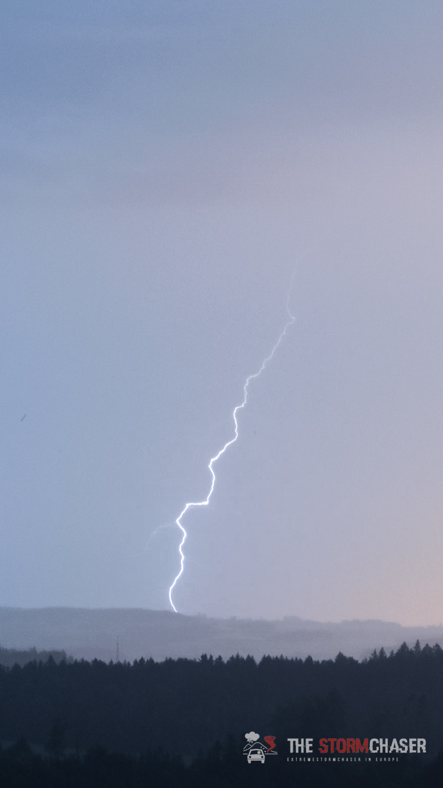
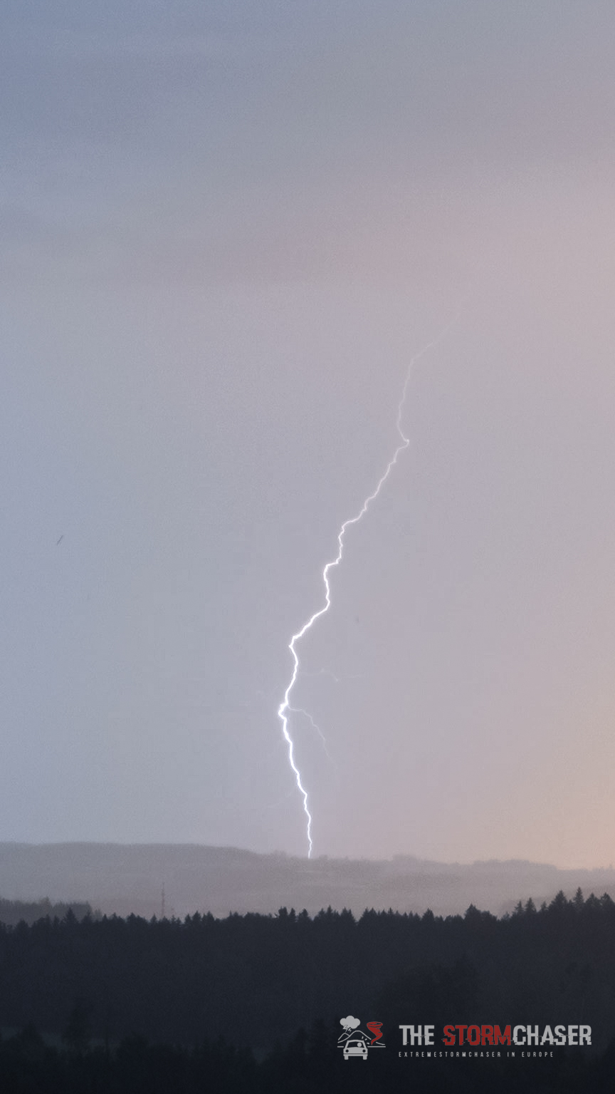
Morgenbrummer von Basel bis nach Frauenfeld. Bei Bazenheid kurz 3 Blitze eingefangen:

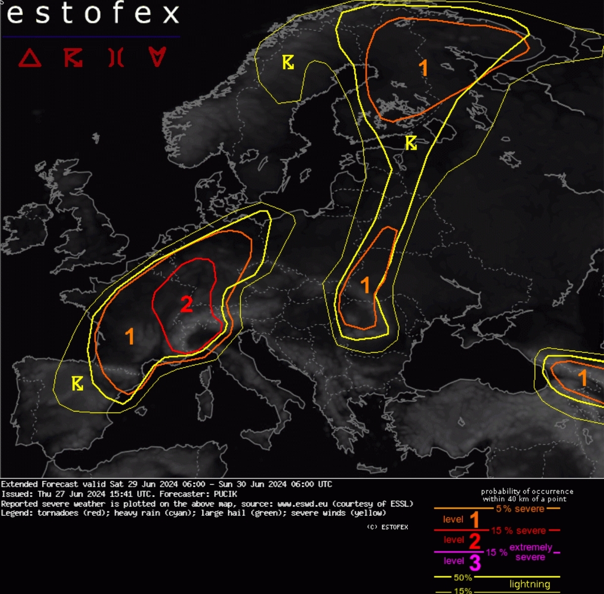
Estofex hat für Samstag Level 2 draussen mit einem extended Forecast:
A level 2 was issued across E France, W to central Germany, Switzerland and NW Italy mainly for damaging wind gusts and large to very large hail.
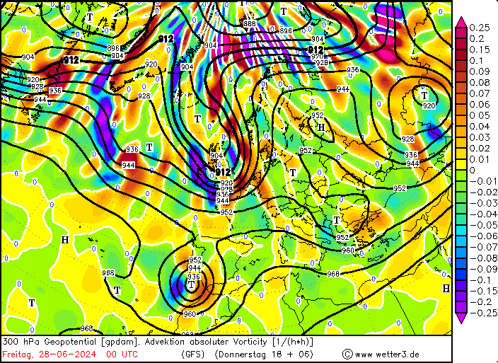
A sharp short-wave trough is forecast to eject from NE Spain on Saturday morning and move across S France into Germany, weakening and deamplifying. Ahead of the short-wave a wavy frontal boundary will stretch from France into Germany and S Poland. As the trough crosses the region, the frontal system will shift NE-wards, crossing the region by Sunday morning.
Within the warm sector, a plume of steep mid-tropospheric lapse rates will develop across the Alps and cover E France, Switzerland and S/SW Germany. With low-level moisture locally exceeding 14 g/kg, fat CAPE profiles with MLCAPE values ranging from 2 to 4.5 kJ/kg are forecast. Strong vertical wind shear will overlap with the high CAPE, with 0-6 km bulk shear ranging from 20 to 30 m/s and 0-3 km shear ranging from 15 to 25 m/s.
Intense and well-organised storms, including supercells and bow-echoes are likely in this environment with threats of very large hail and damaging wind gusts. Storm coverage will increase rapidly towards 15 UTC. Given strong forcing, widespread storms are likely, especially in a belt from E France through W Switzerland into W Germany. Here, a Lvl 3 may be required in the next outlook for a swath of severe to extremely severe wind gusts. More isolated convective mode will be possible across N and N Italy, located further away from the strongest lift. More detailed convective mode and associated severe weather threat forecast will likely come with the next outlook, when high-resolution model output will be available for the region.