
Quelle: https://www.meteociel.fr/modeles/icon-d ... =1&map=360
Quelle: https://www.meteociel.fr/modeles/icon-d ... 28&map=360
Max. Böen:
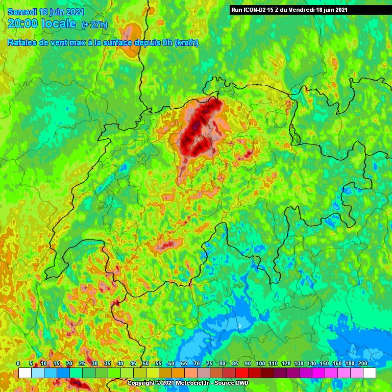
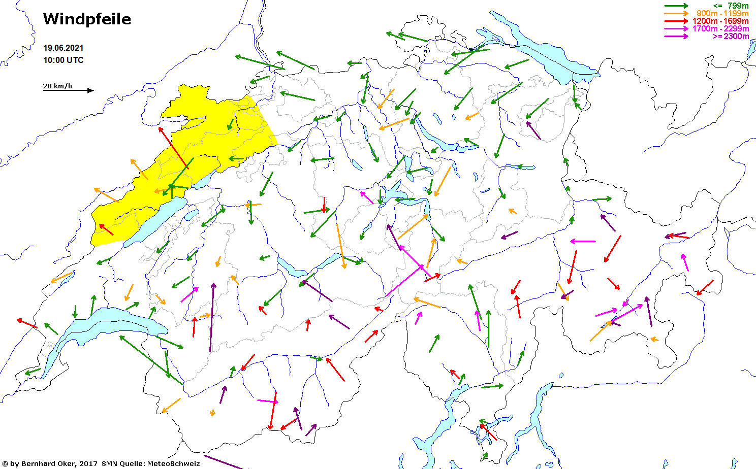
Cosmo hat den Leftmover bis Zürich nun auch drin:

Gruss
Bernhard
In Zusammenarbeit mit meteoradar

Werbung


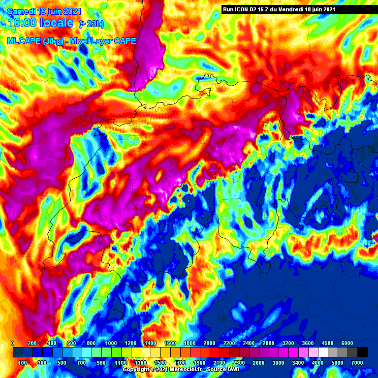
Auch mit den weitherum prognostizierten 32 Grad. Oder täusche ich mich?Mit der typischen Saharastaub Bewölkung wird es schwierig mit der Auslöse:


Quelle: estofex.org... E France to Switzerland and SW Germany ...
Steeper lapse rates will secure higher CAPE values across this area with MLCAPE likely locally exceeding 2000 J/kg, especially in vicinity of the Alps. Vertical wind shear will decrease from E France eastwards and increase from morning towards the late evening hours. Isolated initiation at best is forecast in the afternoon hours, followed by a potential increase in the convective coverage in the evening and overnight hours. Overall coverage may depend on the development upstream over S and Central France and the propagation of evening storms into this area. Given steep lapse rates and favorable wind profiles for well-organised convection, large to very large hail and damaging gusts will be the main threats.


Werbung