www.estofex.org
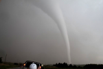
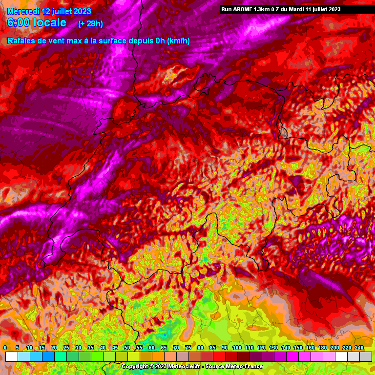
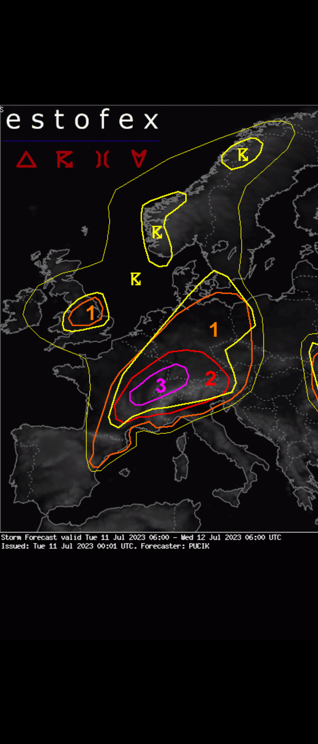
A level 3 was issued across central-E France, NW Switzerland and SW Germany mainly for severe to extremely severe wind gusts and very large hail.
First storms will rapidly become supercells with almost certainty of large hail occurrence. Given substantial amounts of CAPE in the hail growth zone and rather straight and very long hodographs, 8+ cm hail may occur in the strongest storms.
The highest severe weather risk will be due to the severe to extremely severe wind gusts. High-resolution, convection-allowing, models consistently show one or more swaths of severe wind gusts across the area, including pockets of gusts exceeding 32+ m/s