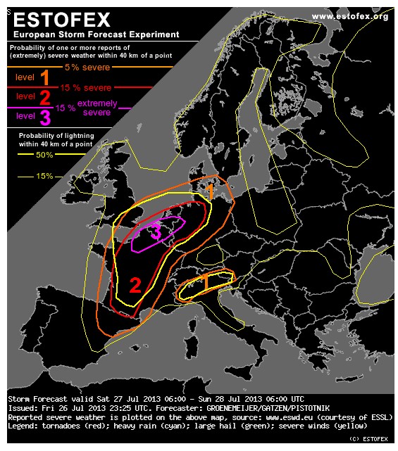
Da oben schon ein wenig ins OT gedriftet wurde noch die Estofex Warnung für Benelux http://www.estofex.org/
A major outbreak of severe storms is expected across regions of France, the Benelux countries and northwestern Germany. These storms may produce tornadoes, very large hail and widespread damaging wind gusts
A level 3 was issued across northern France, the Benelux and a part of northwest Germany for tornadoes, severe wind gusts, large or very large hail and excessive precipitation.
A level 2 was issued across parts of France, the Benelux countries and northwestern Germany for severe winds and large or very large hail, excessive precipitation and tornadoes.
A level 1 was issued across a larger part of France, the Benelux countries, northwest Germany as well as southeast England, parts of Denmark and north Spain for the same risks.
A level 1 was issued across the southern Alps, mainly for excessive precipitation and large hail.
(vielleicht alles ab Fabiennes Beitrag in den heutigen Thread verschieben, gehört ja nicht mehr zum gestrigen Tag)
Zuletzt geändert von Chicken3gg am Sa 27. Jul 2013, 09:26, insgesamt 1-mal geändert.
Eben gerade einen Blitz im Elsass gesehen. Da gehen mehrere Zellen hoch. Auf Donnerradar noch nicht elektrisch aber ich könnte schwören eine Erhellung gesehen zu haben vor etwa 2-3 Minuten
 Bleiben das die einzigen Blitze heute in der Schweiz?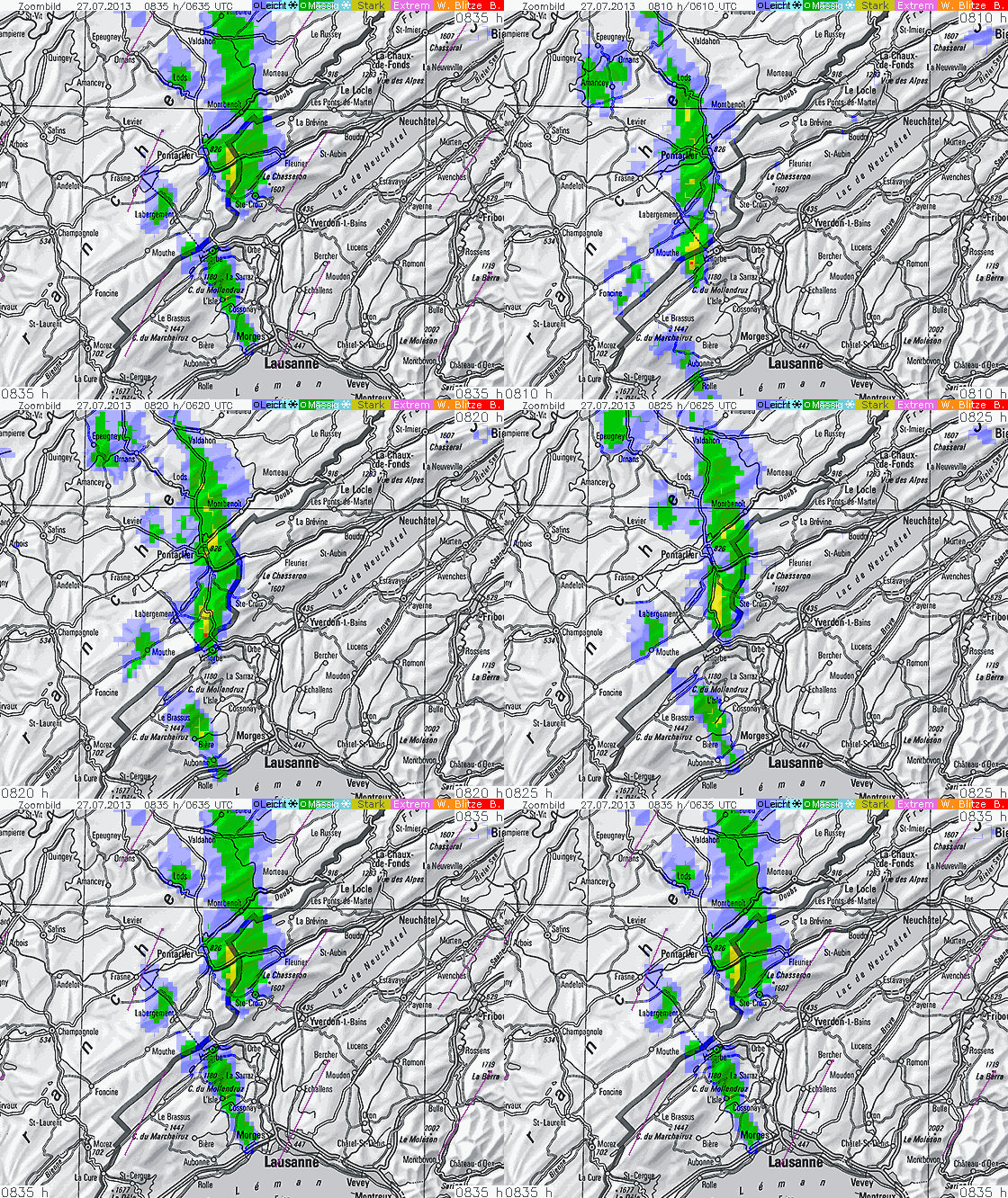



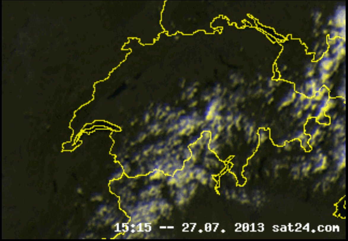
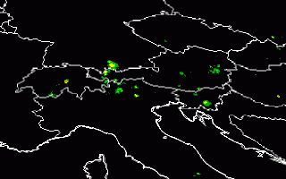 Nds-Wolk 1515