

http://www.estofex.org hat den forecast draussen für heute:
Auszug aus dem Text:
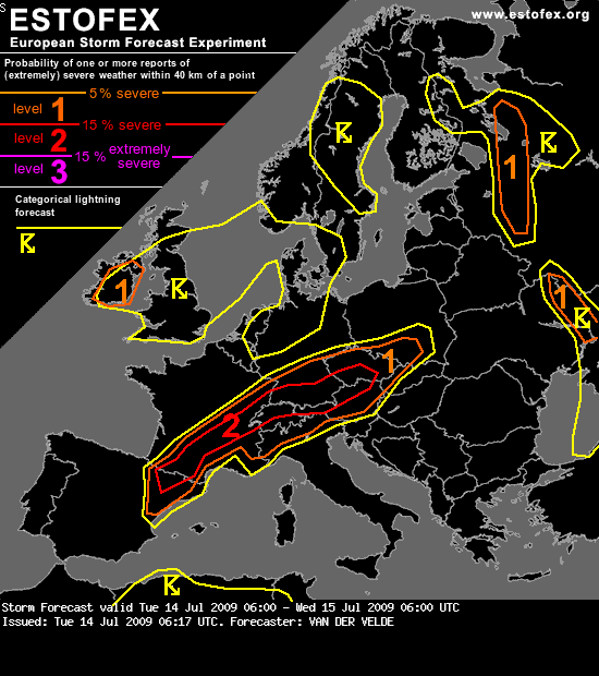
Storm Forecast
Valid: Tue 14 Jul 2009 06:00 to Wed 15 Jul 2009 06:00 UTC
Issued: Tue 14 Jul 2009 06:17
Forecaster: VAN DER VELDE
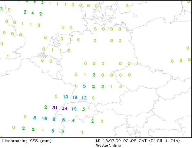
A level 2 was issued for N Spain, parts of France and the north side of the Alps mainly for large hail and excessive precipitation.
A level 1 was issued for parts of Russia (and Ukraine) mainly for excessive rainfall and large hail.
A level 1 was issued for Czech republic, southern Poland and Austria for large hail and severe gusts.
A level 1 was issued for Ireland (and the UK) for spouts and isolated excessive rainfall.
SYNOPSIS
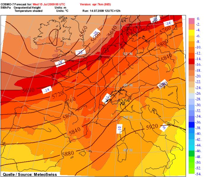
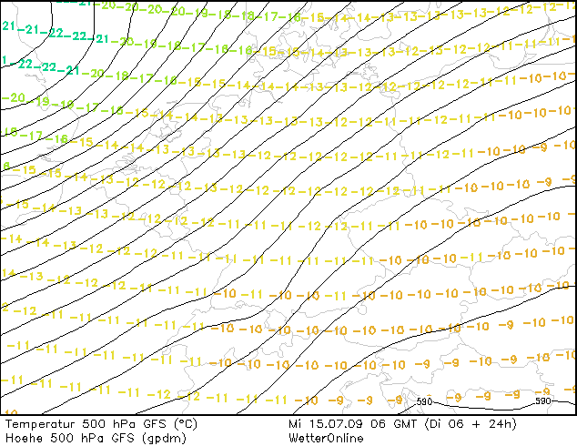
A stationary warm front is situated over S/C France and southern Germany. Strong mid level winds blow parallel to the front and create vertical shear favorable for severe storms. A low pressure system moves slowly over the British Isles.
Another stationary frontal system lies over Ukraine and Russia.
Low pressure is also present over the western Mediterranean Sea and eastern Spain, where a shortwave is predicted by GFS to pass and move during the night to the Alps.
DISCUSSION
...N Spain, France, S Germany area...
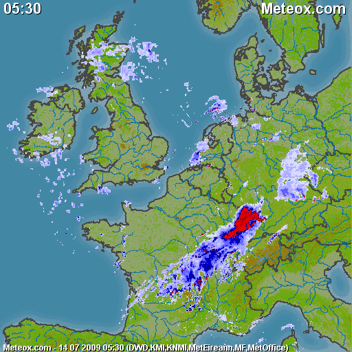
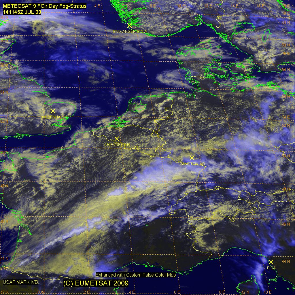
In the wake of last night's MCS activity over France and SW Germany, the region over central Germany and northeastern France is likely to be affected negatively initially with little available energy, remaining precipitation and even quasi-geostrophic subsidence. To the south of the front, warm unstable air (CAPE around 1000 J/kg) and insolation are available and wind profiles should veer with altitude as a result of warm air advection. Deep layer shear of 15-20 m/s and 0-3 km SREH will turn a number of cells into supercells (strong rotating updrafts) and these can produce large hail.
The storms may cluster and form once again MCSses (in series) which can lead to excessive rainfall, since the flow is parallel to the front that triggers the cells, which can then drift for a prolonged time over the same corridor, motly during the night. This is also possible for the area of E France and SW Germany by advection of convective activity from central France and likely helped by the upper shortwave during the night.
Over NE Spain, good QG forcing should be present and enhance storm activity. For 21Z a ridge should pass and may suppress storm activity, but it can revive later at night.
Over Czech Republic, Austria, and Poland the precipitation threat is lower and the chance of gusts and large hail larger, with a CAPE maximum, higher LCL and delta-theta-e (16 K) and shear under a greater angle to a convergence line bending to the north, as well as better QG support....
Zur aktuellen Lage. Ich mache mir diesmal ehrlich gesagt nicht all zu viel Sorgen, dass die Bewölkung heute die Gewitterentsteheung bzw. deren Intensität gross beienflussen kann. Das ganze ist viel zu Dynamsich, womit die Bewölkung heute keinen grossen Einfluss auf die Gewittertätigkeit haben sollte. Oder bin ich mit meiner Annahme doch etwas zu optimistisch, was denkt ihr?
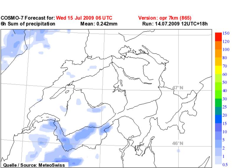
Des weiteren simuliert GFS eine beruhigung der aktuellen Lage ab dem Nachmittag bis in den Abend, bevor in der Nacht eine weitere Störungszone die Schweiz (insbesondere wieder den Nordwetsen) überquert.
Grüsse Crosley


