
Ich denke, es ist gerechtfertigt, nen Gewitterpost für morgen zu eröffnen. Die Mods können ja gerne auf übermorgen erweitern, wenn es euch lieber ist
Nowcast und nicht Forecast deshalb, weil es schon beinahe der 07. August ist - das wäre also nicht mehr lange Forecasting
Ausschlaggebend für die Eröffnung des Themas: Estofex hat die Warnung rausgegeben.
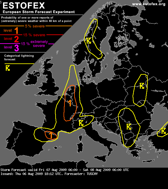
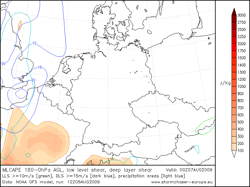
Viele Grüsse... The Netherlands, Belgium, Luxembourg, parts of France, Switzerland, western Alps , northern Italy and NE Spain ...
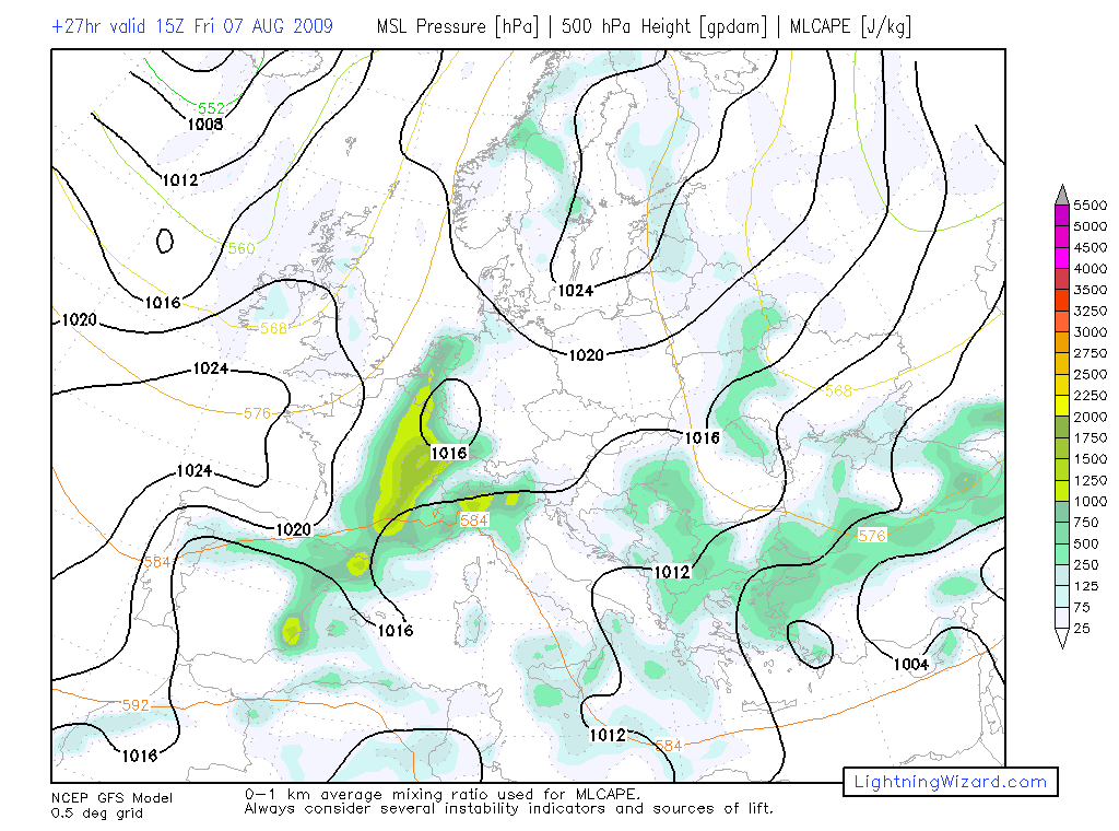
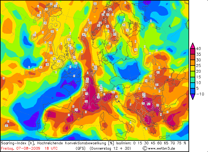
Beneath flat ridging over those areas, a seasonable moist boundary layer is in place with cool mid-levels atop, supportive for some MCLAPE release. Initiation will be bound to the convective temperature which will be hit during the noon and early afternoon hours. Another focus is a front over central France, although it is not yet clear how far east it will move before becoming stationary. The most likely scenario is a stationary front over eastern France with a prefrontal and gradually eastward moving convergence zone.
Shear over those areas is weak to non-existent at all levels with somewhat stronger shear over Belgium and the Netherlands, temporarily increasing to 15m/s throughout the lowest 6km. However, anvil-layer shear remains strong enough as far south as eastern France to increase the risk of isolated multicells. 0-6km bulk shear of 15m/s is also present over NE-Spain.
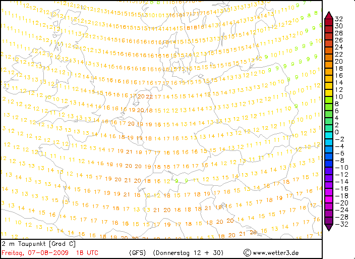
The main issue is the extent of the level 1 area over France. GFS is again running too high with surface dewpoints and there is no reason why this should change tomorrow with forecast dewpoints of 20°C and above. We used ECMWF CAPE forecast with more reasonable dewpoints and therefore expect MLCAPE of 400 - 800 J/kg with locally higher values. GFS and EZMWF both have local spots where dewpoints may approach 20°C and those areas may see MLCAPE release above 1000 J/kg. The level-1 was issued for isolated large hail reports and strong wind gusts.
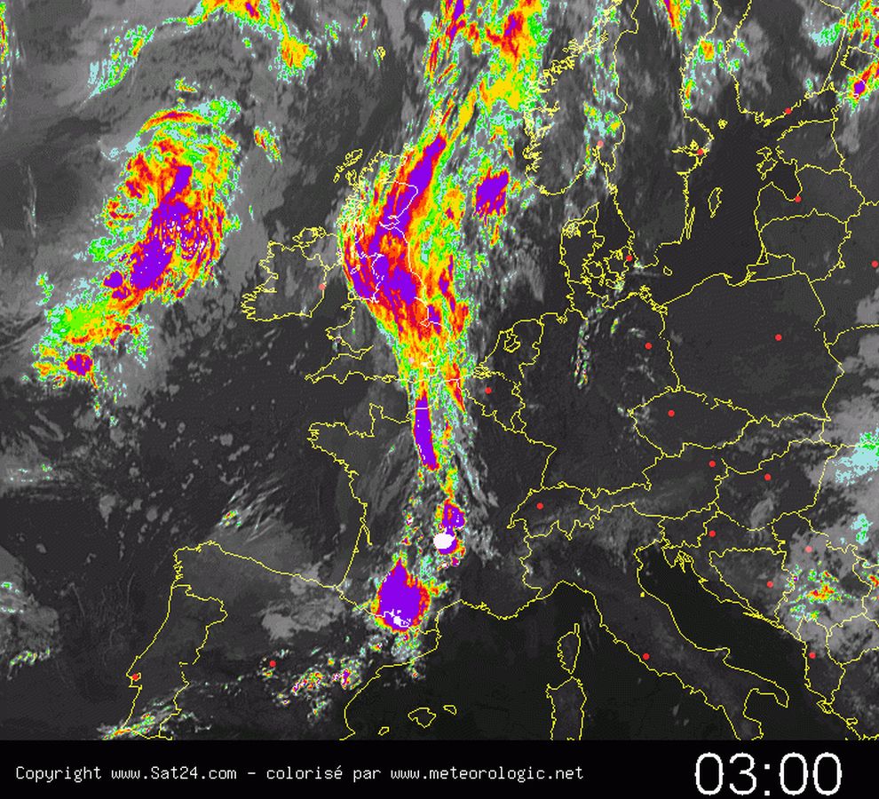
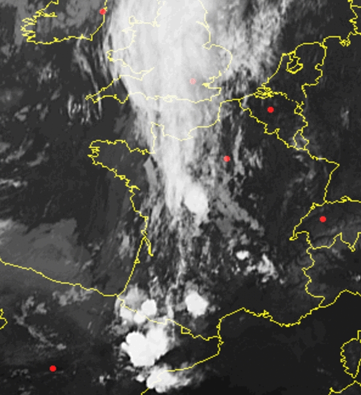
Thunderstorms will cluster betimes and a messy coexistence of pulsating thunderstorms and multicells will affect the level 1. Thunderstorms decrease after sunset but will continue all night long along the boundary over Belgium, Luxembourg, the Netherlands, western Germany but also over NW-Italy. Decreasing instability will bring an end to the severe risk.
Lukas


