Re: Hochnebel 8.10.2010 bis....
Verfasst: So 17. Okt 2010, 16:45
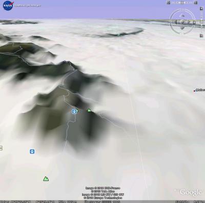
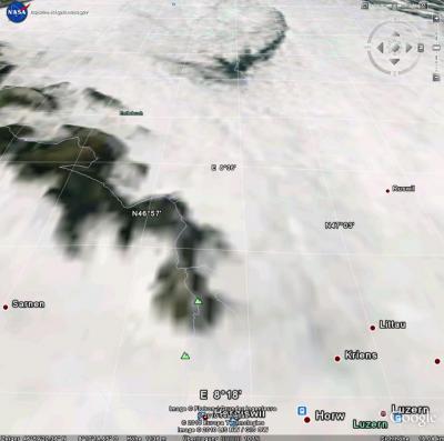
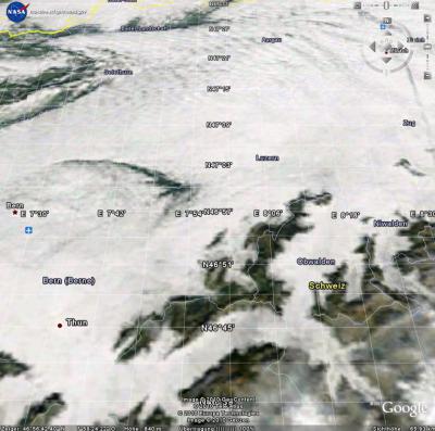
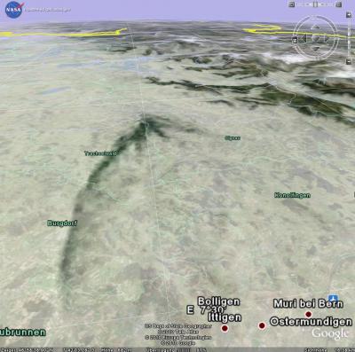
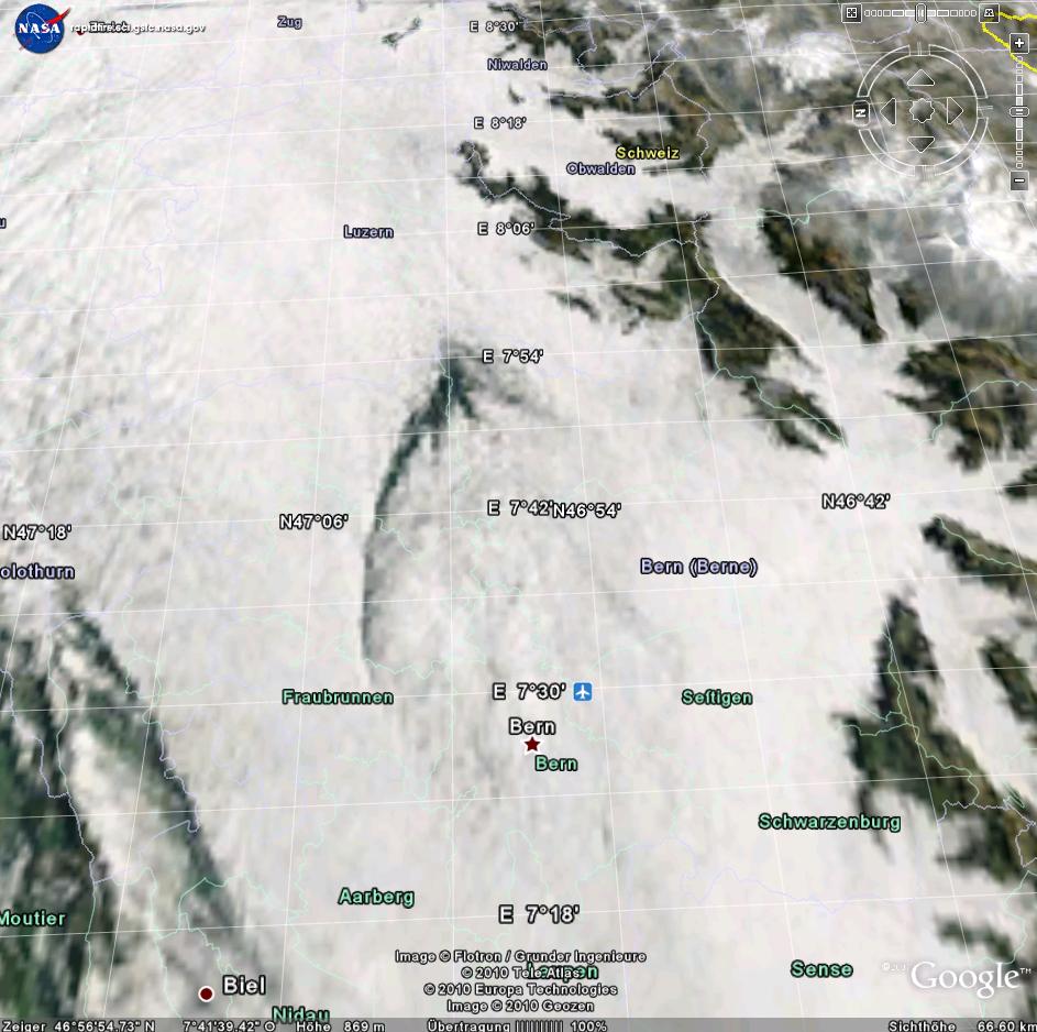
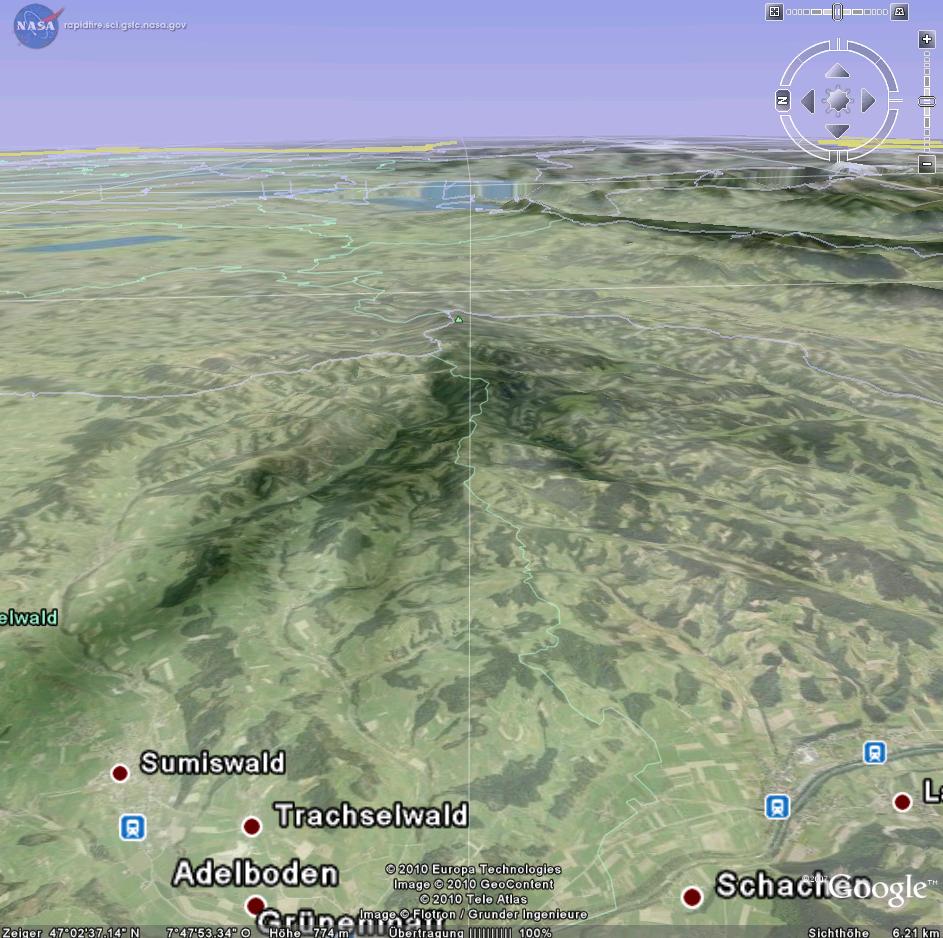
Kein Seich! 


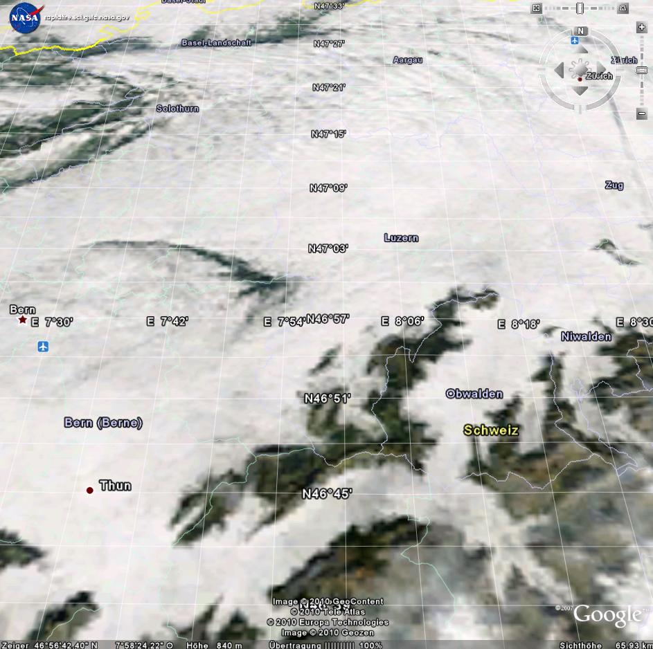
Terra Vom 13.10.2010
+ Als Zip 3MB
+ Flash Animation (SWF) 5MB
http://rapidfire.sci.gsfc.nasa.gov/subs ... as.2010286
http://rapidfire.sci.gsfc.nasa.gov/subs ... terra.250m
http://rapidfire.sci.gsfc.nasa.gov/subs ... .aqua.250m
Nachtrag:
http://rapidfire.sci.gsfc.nasa.gov/subs ... et=AERONET_Ispra.2010286
Grüsse
Urbi