Hallo zusammen
Pre Season System being monitored in Tropical Atlantic
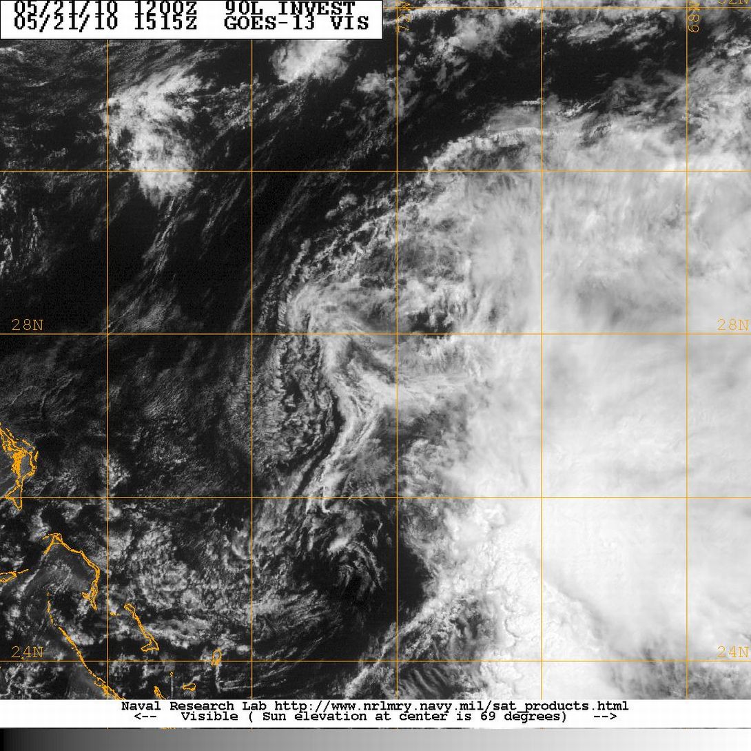
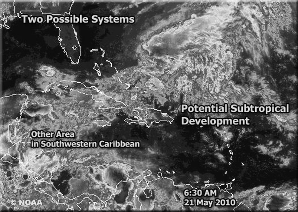
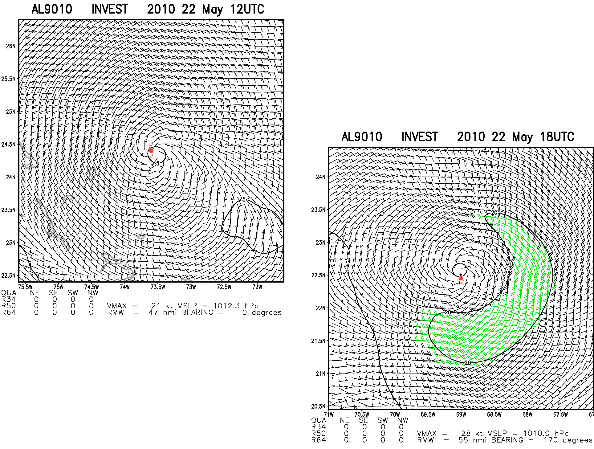
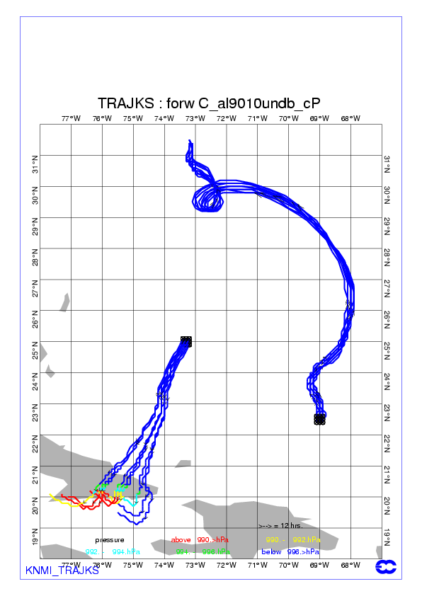
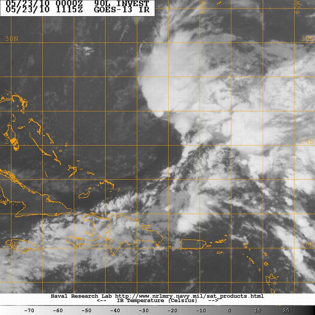
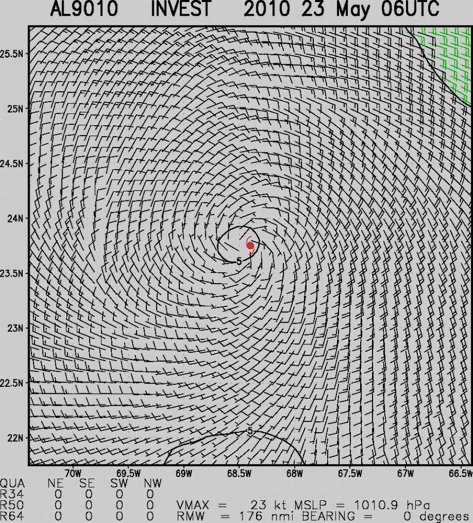
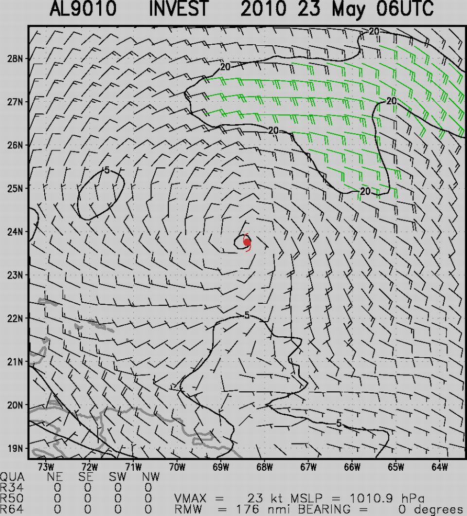
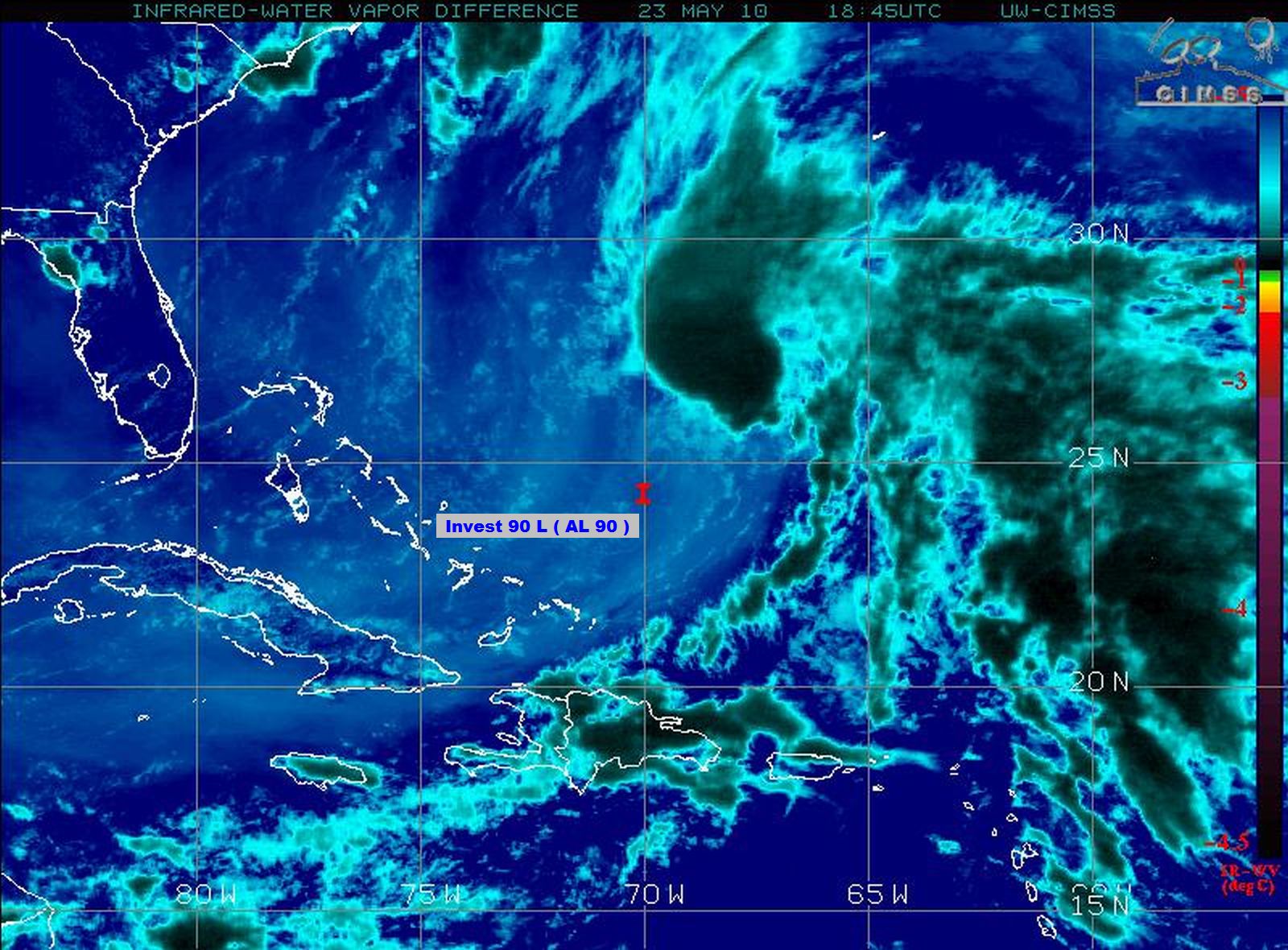
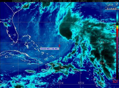
An area of low pressure taking shape east of the Bahamas
and north of the Dominican Republic is still being monitored
for possible pre-season tropical development ...
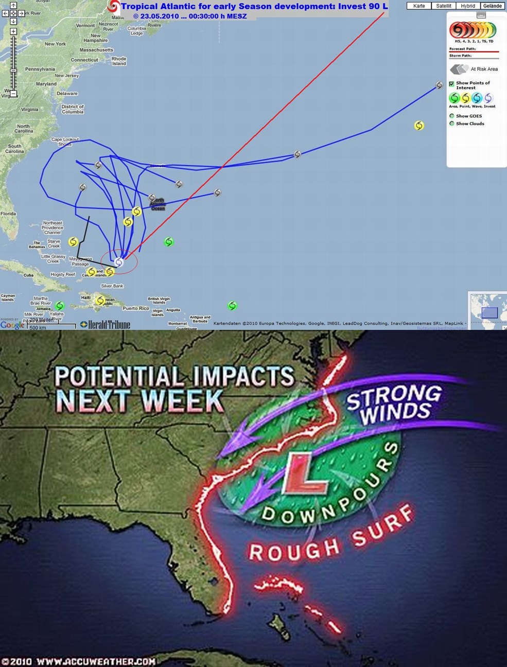
Over the next few days this system is expected
to move northwestward toward the southeastern U.S
=
Potential for development
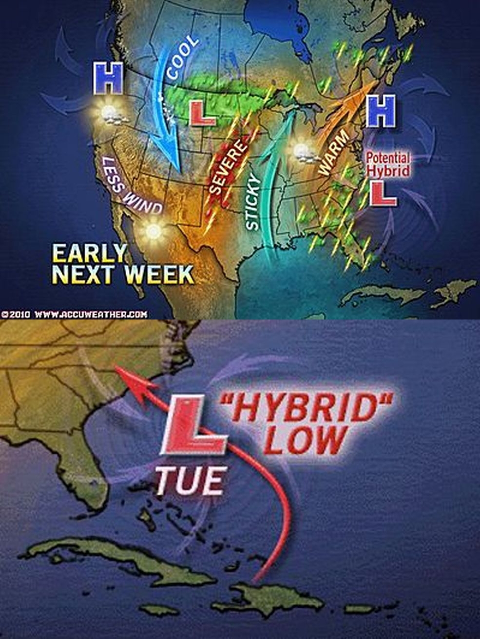
AccuWeather meteorologists still believe this feature has little
if any, chance of developing into a true tropical system ...
The more likely scenario is that it takes on both tropical
and non-tropical characteristics making it a Hybrid Storm ...
Hybrid systems can be named as subtropical storms or depressions ...
The first name on the 2010 Atlantic Hurricane Season list is Alex ...
=
Possible impacts on the U.S.
While the system is expected to start moving northwestward
over the next few days there is still some uncertainty
in how close it will track near the southeastern U.S. ...
Quelle: CIMSS